Invitation to “Hands On Mapping: Introduction to Tactile Cartography”, 9/7
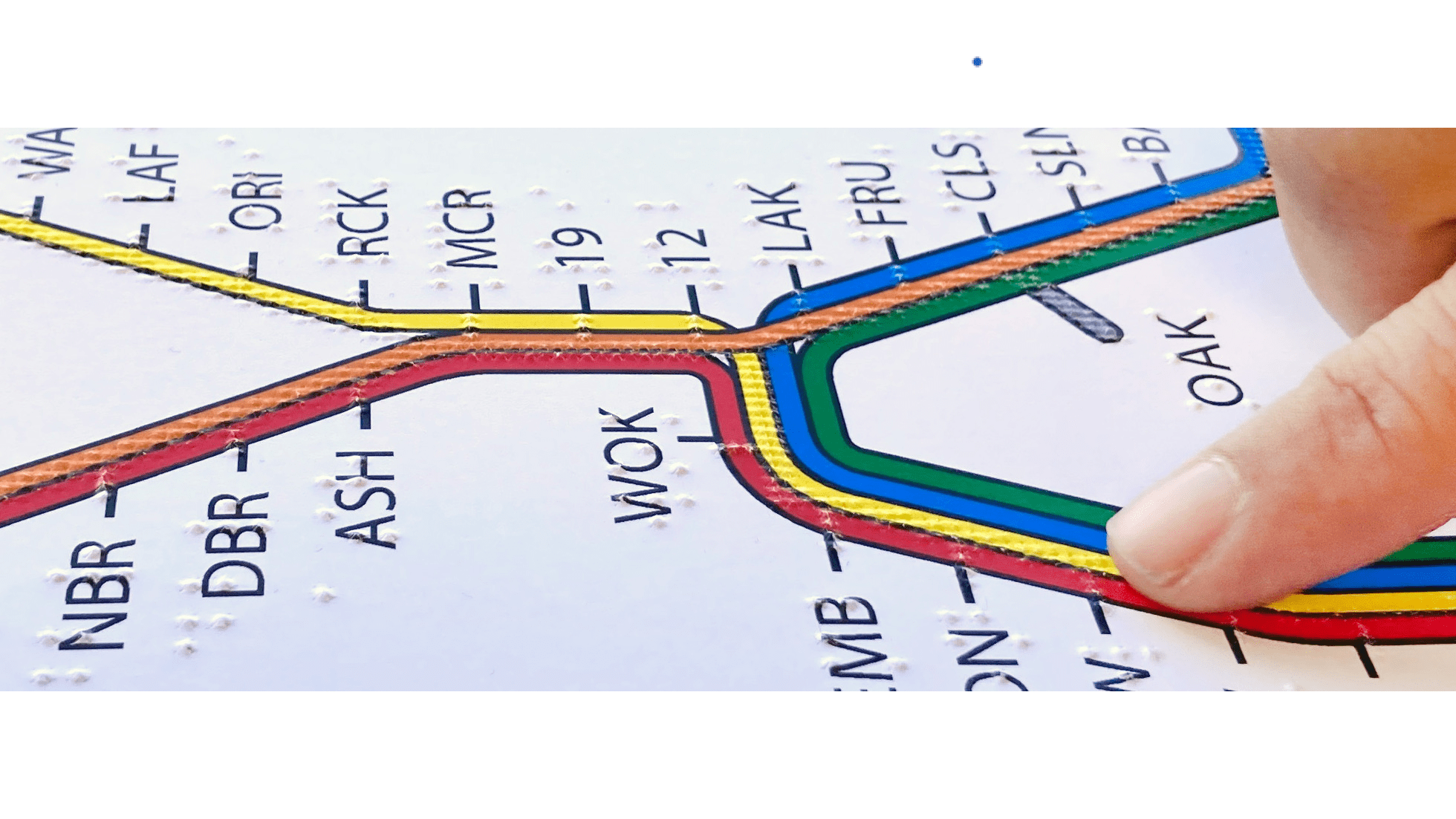
Maps deepen understanding, broaden perspectives, and encourage engagement with our world. However, people who are blind or visually impaired do not have equal access to maps that the sighted population...