Tag Archive

iceberg

How big was that iceberg that broke off Antarctica in February?

How big was that iceberg that broke off Antarctica in February?

Map of antarctica with braille labels, detail map of Antarctica and iceberg with braille labels.

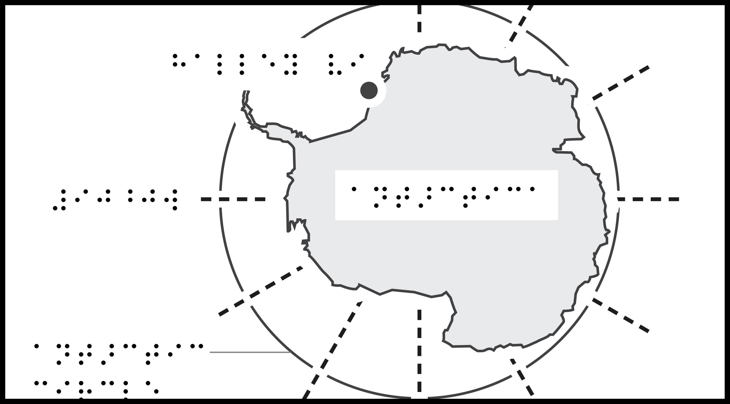
Tactile map 1: Antarctica Map

Description: Map of Antarctica with scale lines, showing longitude lines, Antarctic Circle line, and location of Halley VI Research Station.

Tactile map 2: A-74 Iceberg Map

Description: Detail map of Antarctica showing A-74 Iceberg location, with scale lines, lat/long lines, location of Halley VI Research Station, and labels for Weddell Sea and Brunt Ice Shelf.

Source: NOAA, USA Today, Space.com, British Antarctic Survey.

The A-74 Iceberg covers about 1,270 square kilometers. Cities with similar areas: Phoenix, US (1,230 sq. km); Los Angeles, US (1,215 sq. km); Wellington, New Zealand (1,388 sq. km); Delhi, India (1,483 sq. km); London, UK (1,579 sq. km). Source: The Measure of Things.

Download Maps

ZIP folder contains files for producing 2 tactile maps on 8.5 x 11-inch paper:

  • PRNs for ViewPlus Columbia / Delta, APH PixBlaster, IRIE BrailleTrac / BrailleSheet;
  • PDFs for Swell, Microcapsule or PIAF;
  • Reference PDFs with corresponding large print text (not for tactile production).

Printing Instructions and Supported Embossers

How to unzip/uncompress: Windows 10, Windows 8.1, MacOS.

Submit Your Ideas and Touch The News

Sign up

Sign up to receive tactile graphics files to print at home.

Back to Touching The News Gallery