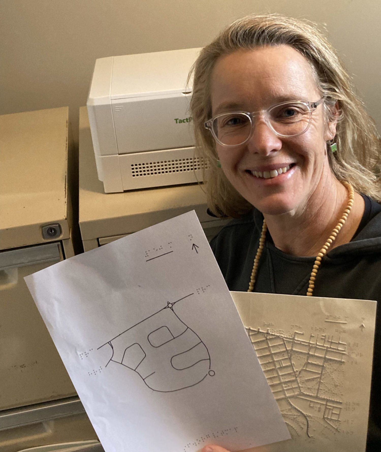
How TMAP Reinvigorated How Angela Reynolds Serves Students
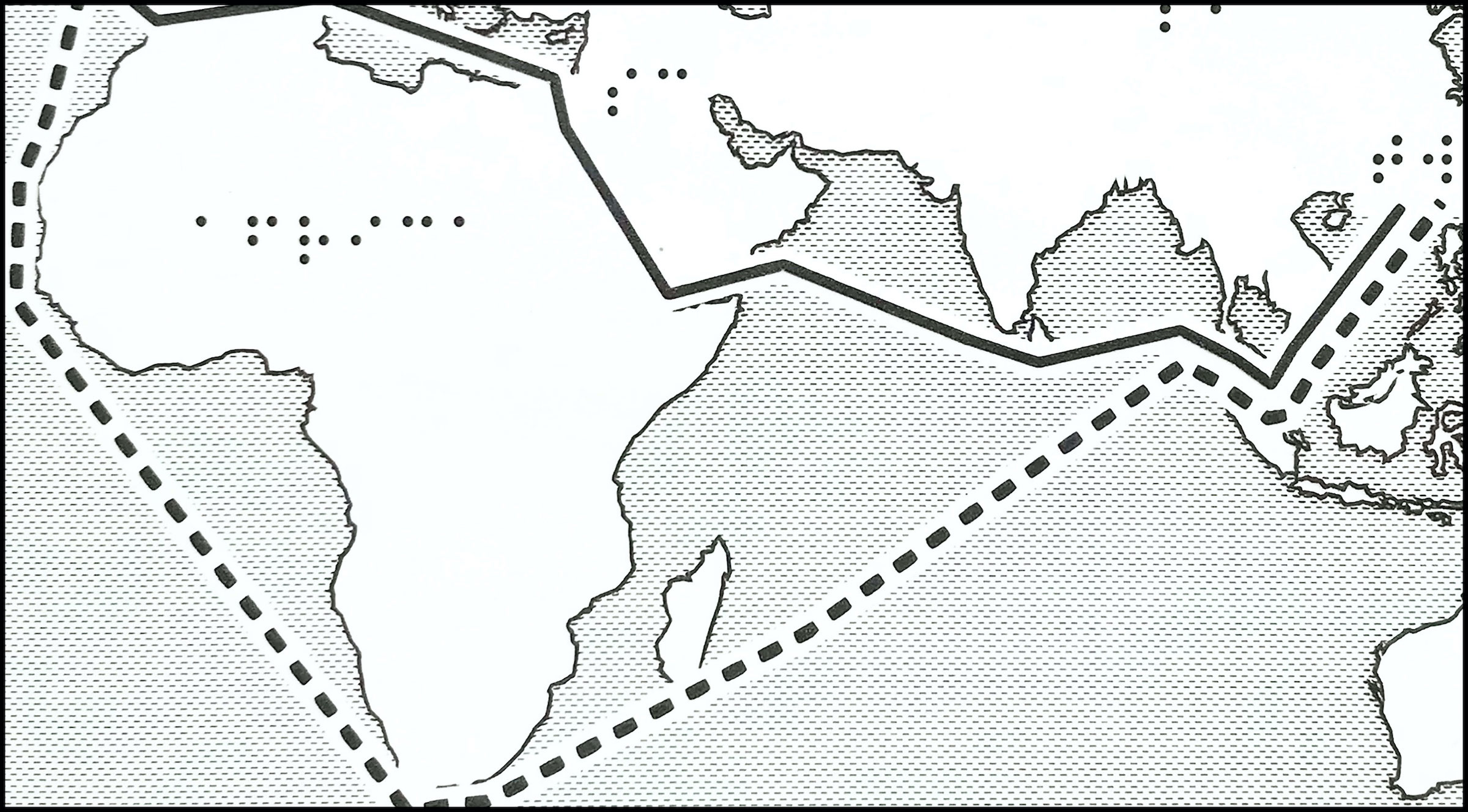
Since 2016, LightHouse’s Media and Accessible Design Laboratory (MAD Lab) has been continuously developing their innovative Tactile Maps Automated Production (TMAP) software and perfecting its outcoming product. TMAP, a tool...